Although there does now seem to be the merest chink of light at the end of the tunnel, lockdown continues unabated and that means that our walks continue to be local ones. I think at one stage that this would have depressed me immensely but I have been determined to make the most of it and now can feel a quiet satisfaction in getting the map out, scanning carefully for some closely packed contours and orange “access land” boundaries and plotting a brand new route somewhere I have never been before! We have had three good ones of late in the area around the West Pennine Moors and I am becoming increasingly fond of these wild, wide open spaces of dun coloured tussock grass and huge, open skies.
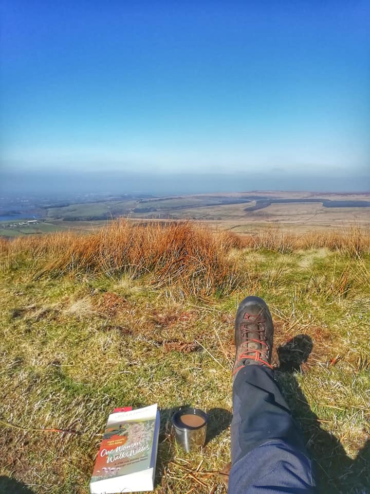
Winter Hill mast is a Pennine landmark. At 310 metres high, this broadcasting and communications mast on the crest of Winter Hill is truly enormous and can be a little discombobulating. Aiming for the mast you always feel you are closer to it than you actually are as it’s visible from almost everywhere in the region! On this occasion I was heading there from the town of Horwich, a pleasant place set at the end of Lower Rivington Reservoir, with free parking and a good supply of butchers and bakers selling tempting looking pies. I climbed out of the town along country lanes with hedges full of the trilling of excitable birds and slowly upwards through farmland until I reached the edge of the moors and the tempting coffee shop set up by an enterprising farmer to cater to the Rivington hordes. I crossed the track coming down from Two Lads that I’d taken in the snow only a few weeks before and attained the service road running up to the transmitter complex. I picked my way across some marshy land to the trig point and chatted to a chap who had been watching a Snow Bunting on the heights. The views across to Belmont and Longworth Moor were spectacular and the sheer amount of empty moorland was very impressive, a huge sea of grass and peat stretching into the distance. The boggy ridge took me along to Noon Hill, a small promontory and the site of Bronze Age burial mound, the shape of which is just about visible. The sun was shining at this point and I found a cosy nook and say with a coffee and my book for half an hour listening to the Skylarks and enjoying the views across to Anglezarke Moor, a moment of bliss. Leaving Noon Hill behind it was more boggy tramping across to Rivington Pike and it’s tower built in 1733 by John Andrews who used it as a hunting lodge. In contrast to the rest of the walk the Pike was busy and so I quickly made my way down through the terraced gardens of Lord Leverhulme’s estate and through the woods to “The Castle” a folly built to replicate the thirteenth century Liverpool Castle which sits on the shores of Lower Rivington reservoir. From there it was a gentle woodland walk through some mature trees and back in to Horwich to complete a truly lovely walk.
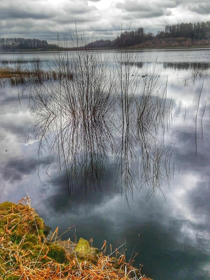
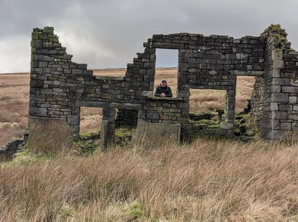
Walk number two saw us head a little further North to the other side of the Belmont valley. We started from the layby next to Delph reservoir and the Longworth Hall plantation before following the abandoned road up to the edge of Longworth Moor. After following a farm track out onto the moor with great views back to Winter Hill we struck off on marked rights of way that looked good on the map but soon disappeared in the boggy, soggy morass beneath our feet. The area known as Rabbit Warren shows that the moor wasn’t always such a desolate, uninhabited area and we found the remains of two old mine shafts and the ruins of Coopers Farm where we stopped for a brew and a bit of shelter from the wind. Old maps of the area show at least three other farms close by as well as the Turton Moor Sanitary Pipe Works which lay at the bottom of the Old Tramway which we followed down back towards the plantations. The path edging the plantations was as boggy as the rest of the route but we crossed the bridge over Holden’s Brook and retraced our steps back down to the car. It was interesting seeing the remnants of human stories in what is a very inhospitable environment and I can’t imagine that the miners or the farmers had easy lives out on the moors.
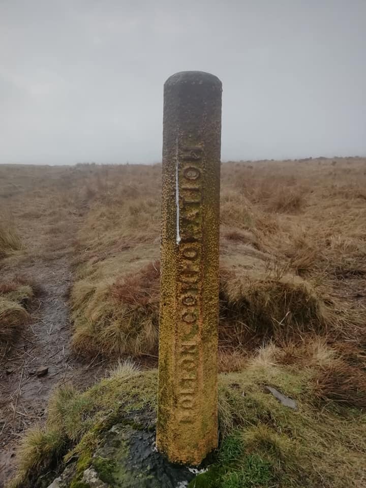
Walk three took me back to Delph Reservoir. After passing through the quaintly named hamlet of Dimple, it was a short climb up onto Turton Heights and a section of the Witton Weavers Way. The Way is a 32 mile long distance footpath celebrating Lancastrian history and I have walked a number of sections of it over the last year. This section took me through low mist and a wide expanse of moorland to the trig point at Cheetham Close next to an ancient stone circle that is, unfortunately, in a bad state of repair. I continued on the way as I descended down to Turton and Entwistle reservoir where I had lunch under a greying sky. A quick circuit around the reservoir, the shores of which are currently scarred by some destructive forestry work, and then a climb back up onto the Heights and back down towards Dimple before a final detour took me through the plantations and back to the start for the third of three varied, interesting and satisfying West Pennine walks.
I have been guilty in the past of thinking of the Pennines as a little monotonous and boring, the sea of moorland as lacking diversity and variety but my explorations during lockdown have proved that this is far from the truth. Maybe, it’s time to get out a copy of The Pennine Way and start planning another adventure!
Hi Ian, a very interesting read and l am very impressed with the miles you put in especially over Longworth Moor.
My family lived at one of farms on the moor, ( Marsdens Farm), which is just a piles of stones and old gate posts now, you would have passed it on your way to the ruins of Coopers Farm, they came to the area during the construction of Delph Reservoir.
It must have been a desolate existence especially in winter.
Best Regards
Dave
Thank you for your kind comments Dave. I completely agree it must have been a tough old place in the Winter, very remote. Lockdown seems a long time ago and my partner has moved to Manchester with me so we are no longer on the edge of the Pennines anymore but it is a very underrated area of wild land and I love walking up there.
Testimonials
Recent Posts
Categories
Recent Posts