10 miles
5 5 hours
Whilst there are more than enough walks in the Peak District to keep me busy for half a lifetime, once in a while it is worth spreading the wings and exploring a little further afield and Ingleborough is definitely a hill worth the ninety minute drive. At 723 metres it is the second highest of the notorious Yorkshire 3 Peaks and the last peak of the 24 mile challenge walk if undertaking the traditional route. The name is believed to have been derived from the Old English for “fortified place” and there is some evidence that an Iron Age hill fort may have once occupied the summit, if it did, it was certainly well sited in terms of defensive strength and positioning, on a clear day you can see for miles!
I set off from the village of Horton-in-Ribblesdale under clear blue skies, I’m in my short sleeves but there is a definite nip in the air and I am glad to be moving. I cross the railway line and weave across farmland before the path starts to increase in gradient and leads me up to Sulber Nick where the boggy path is flanked by very impressive limestone “pavements”. The examples of these glacier created formations that occur in the Yorkshire Dales are amongst the finest in the world. As I climb Ingleborough and Simon Fell rise in front of me and as I turn and look back towards the village the distinctive peak of Pen-Y-Ghent also sits proud, it’s a spectacular landscape and on a day like today a popular one. I decide to head off the main path and scramble up the grassy slopes of Simon Fell where I find a suntrap with a view over towards Yorkshire’s highest peak of Whernside and have a contemplative lunch with the sun on my face.
Leaving Simon Fell, it is a short, sharp 15 minutes until I attain the broad, summit plateau. It is dotted with rocks and ruins, the aforementioned hill fort remains, a substantial windshelter, a trig point and the ruins of a round tower originally built to be used as a hospice in 1830 but which was destroyed at a drunken party to celebrate the completion of it’s construction! I leave the top and head South to Little Ingleborough and then onto Gaping Gill, a 98 metre deep pothole that swallows Fell Beck and is the highest unbroken waterfall in England. It’s terrifying and exciting in equal measure and twice a year members of the public can pay a small fee to be lowered into it’s cavernous depths by local potholing clubs.
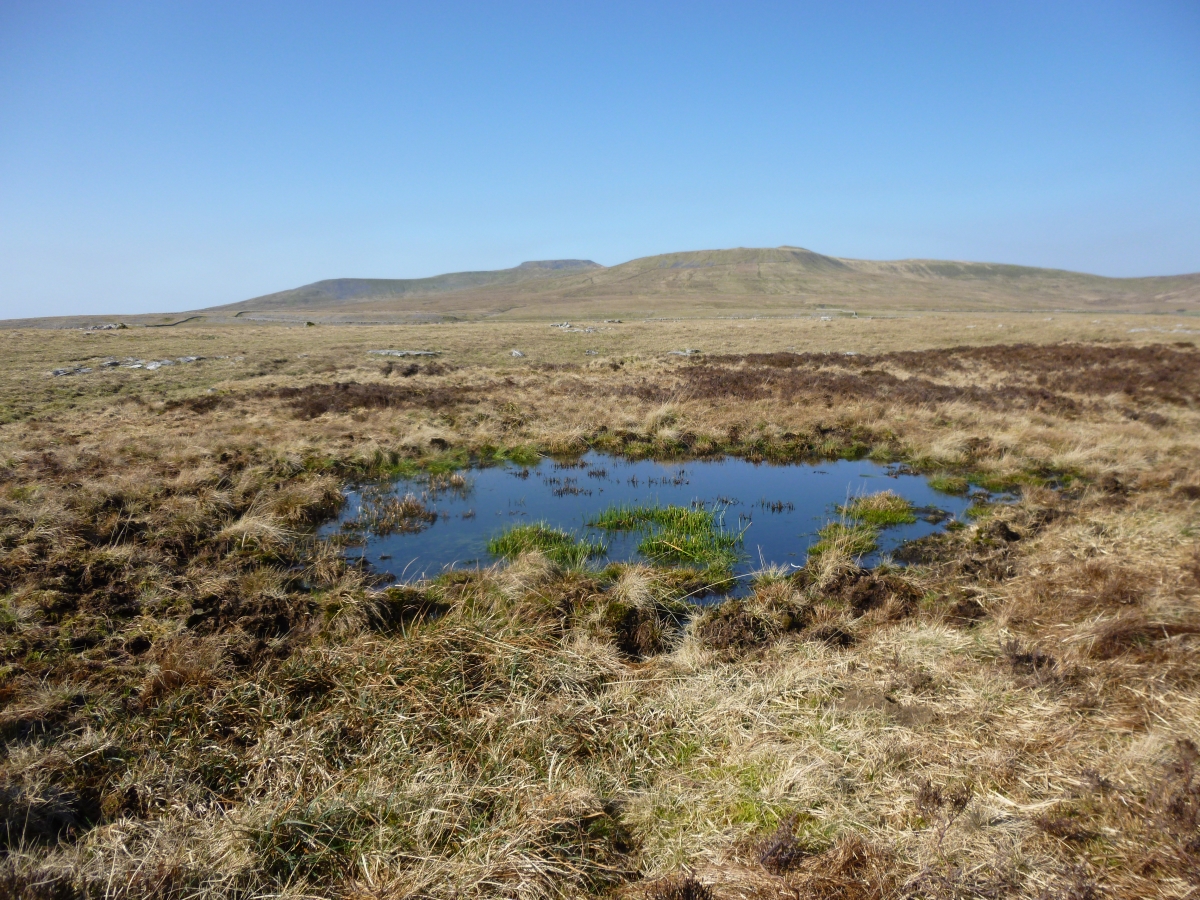
I cut across towards Long Scar from here leaving other walkers behind. There are plenty of sheep and limestone pavements and I eventually arrive at the atmospheric and bleakly named Thieves Moss where my imagination goes into overdrive imagining footpads, highwaymen and lonely travellers disappearing in the mist. I remain unmolested however and follow the path back to the head of Sulber Nick and from there retrace my steps towards the village of Horton, in time for a welcome coffee and cake at the iconic Pen-Y-Ghent cafe.
I very much hope that you enjoy reading about my walks as much as I enjoy undertaking them. If you have any questions or enquiries about either my articles or guided walking in the UK please feel free to visit my webpage at www.comewalkwithmeuk.co.uk or e-mail me at Ian@comewalkwithmeuk.co.uk . Liking my facebook page or following me on twitter @cwwmuk will help you keep up to date with all my latest walks and general outdoor news. In the meantime, enjoy the ramblings of a rambler…